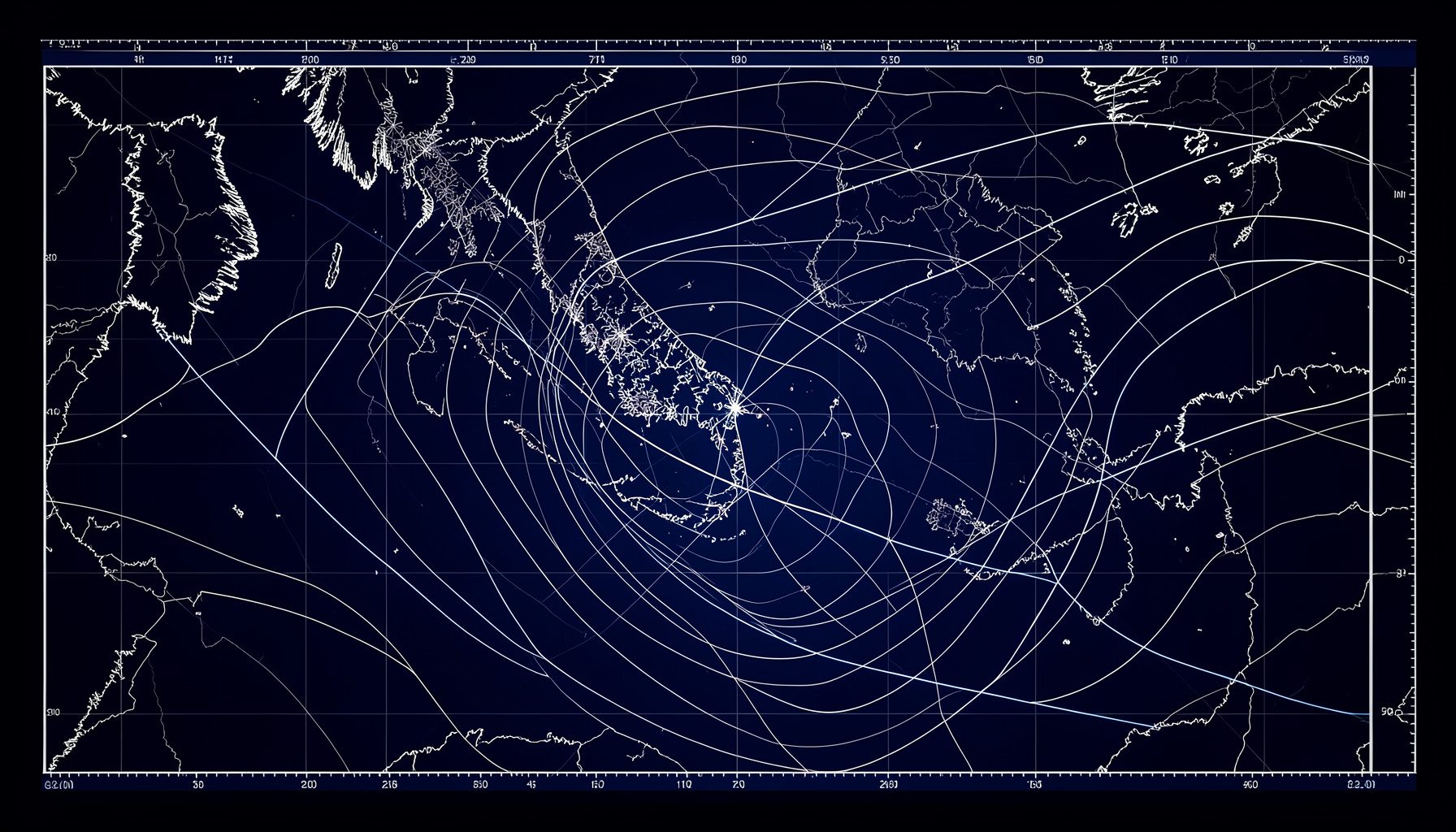
Latest Weather Chart Analyses
This section delivers concise, technically grounded snapshots of evolving weather patterns. Each entry focuses on the immediate outlook, highlighting pressure systems, frontal passages, and regional impacts — particularly for the South and the Adriatic coast.
Southern Italy: Lingering Instability
A cut-off low over the Ionian Sea continues to drive unsettled conditions across Puglia, Calabria, and eastern Sicily. Scattered thunderstorms and gusty north-easterly winds are expected through the next 36 hours.
Adriatic Surge: Bora Winds Intensify
A sharp pressure gradient between a high over Central Europe and a deepening low in the southern Adriatic is producing strong Bora winds along the Trieste-to-Ancona corridor. Gusts may exceed 80 km/h in exposed coastal stretches.
Central-North: High-Pressure Ridge Building
An Atlantic ridge is nudging into the western Alps, bringing stable conditions to Piedmont, Lombardy, and Liguria. Temperatures will climb 3–5°C above the seasonal average by midweek.
Tyrrhenian Sector: Marine Layer & Low Clouds
Moist south-westerly flow ahead of an approaching cold front is generating extensive low cloud and patchy drizzle along the Tuscan and Lazio coasts. Visibility may drop below 2 km in early-morning hours.
Regional Spotlight: South & Adriatic Coast
Forecasters are paying close attention to the southern Adriatic basin, where sea-surface temperatures remain anomalously warm. This thermal reservoir could fuel rapid cyclogenesis later in the week. Key points:
- Puglia: Persistent onshore flow; rough seas with wave heights reaching 2–3 metres.
- Molise & Abruzzo coasts: Orographic enhancement of precipitation along the eastern slopes of the Apennines.
- Marche: Gradual improvement expected from Thursday as the low fills and drifts south-eastward.
Forecaster Notes
These rapid analyses are prepared by the MeteoReport team in collaboration with www.centrometeo.com. For deeper dives into the underlying dynamics, visit the Editorial section or explore Approfondimenti for extended climate discussions.